 Back to the project
New Technologies to increase efficiency in agriculture LAC 2030
Robust conceptual frameworks to estimate crop water consumption, together with information sources based on modern technologies, allow efficient management of irrigation at the parcel and regional scale.
Context of the story
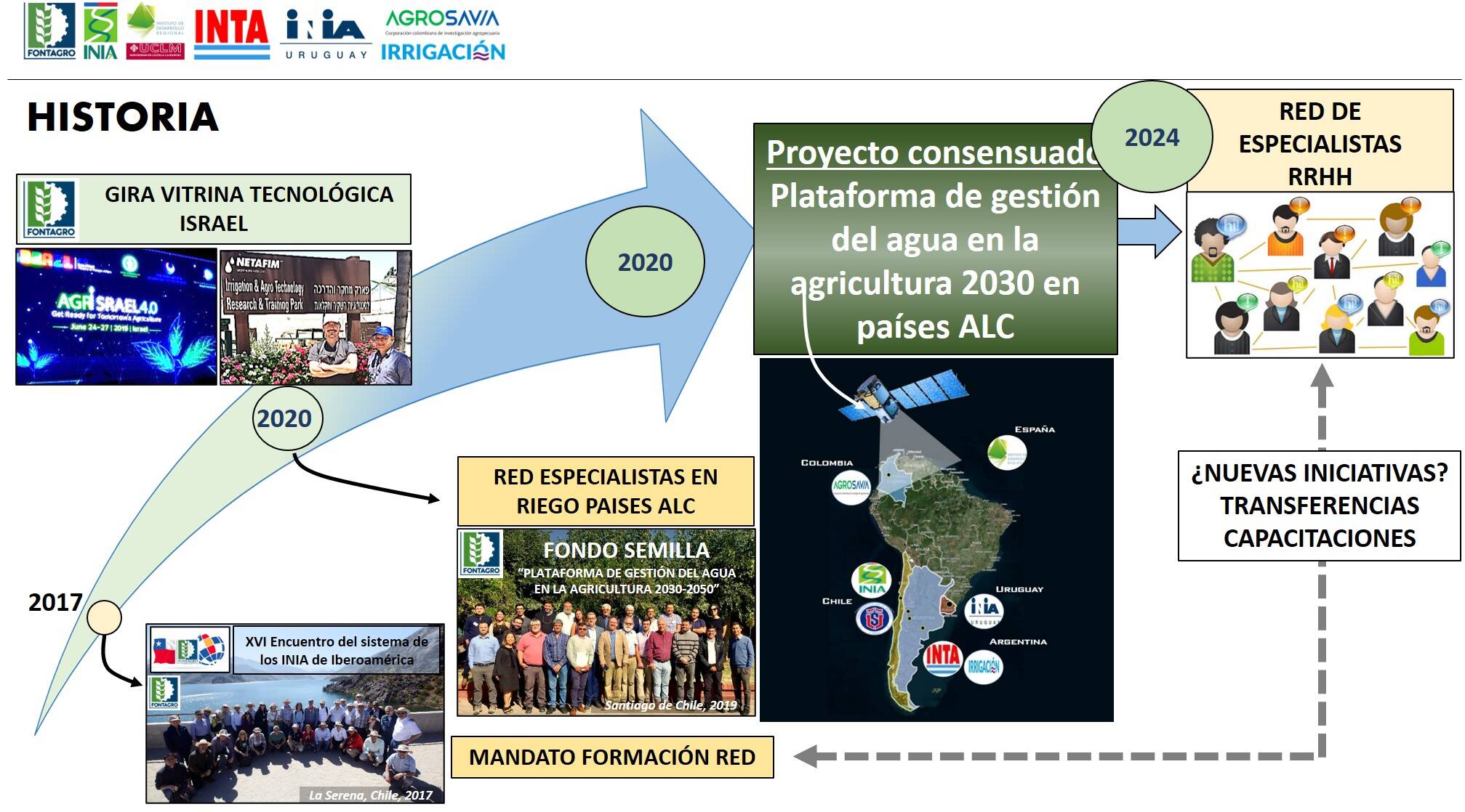
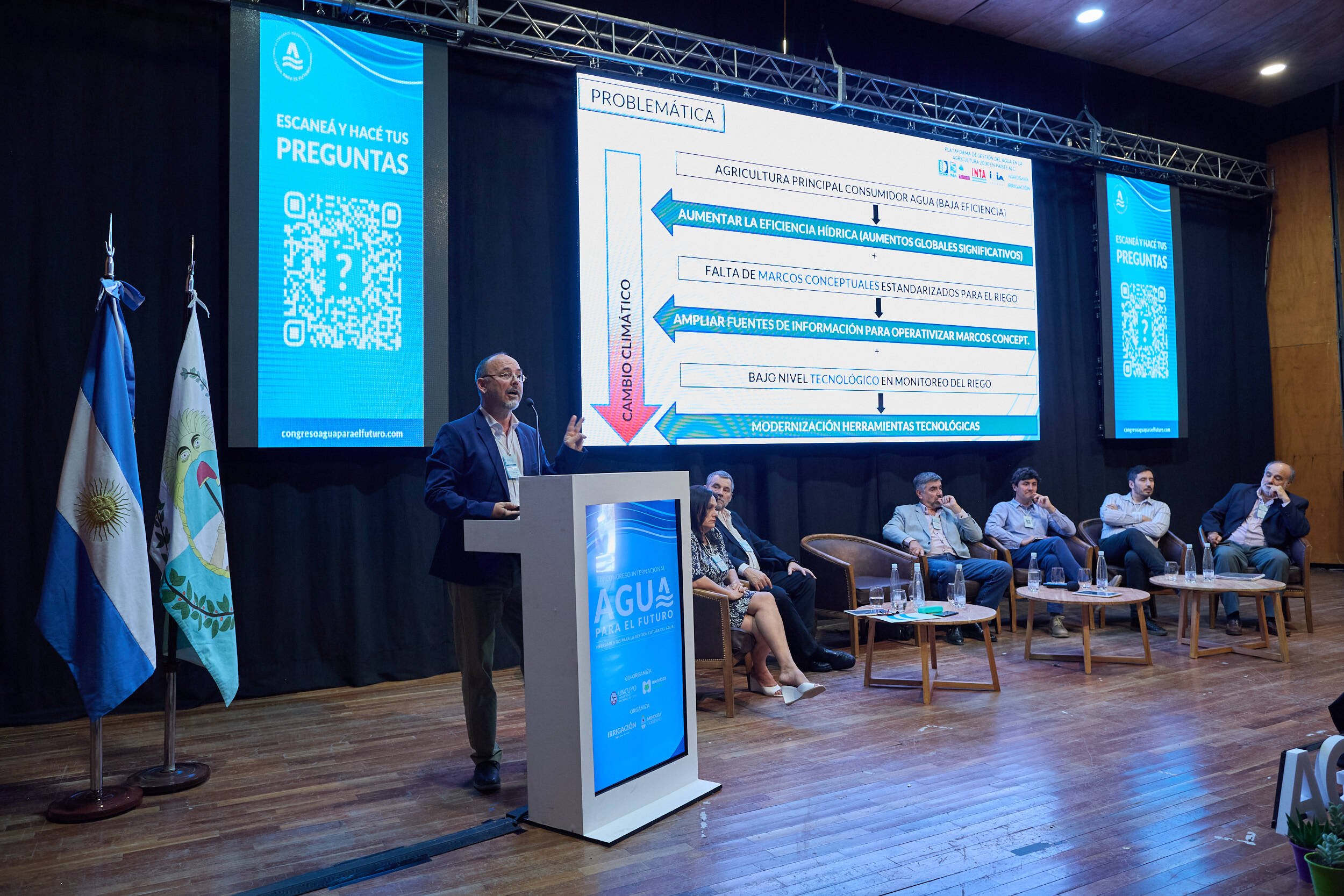
Efficiency in water use in agriculture is low in LAC countries (25%) but also in developed countries (45%). In this sense, several gaps are identified: the lack of metrics to define the irrigation needs of crops, weaknesses in the global management of water resources, unknown of technologies for monitoring, control and distribution of water resources. The emphasis of the project has been the updating of conceptual frameworks and technological tools for irrigation management and water resources management at the basin level. The PLAS-ALC Satellite Agricultural Platform, developed in cooperation with users, has been able to transfer information to technicians, irrigators and/or water resources managers for efficient use.
PLAS-LAC 2030
The implemented initiative
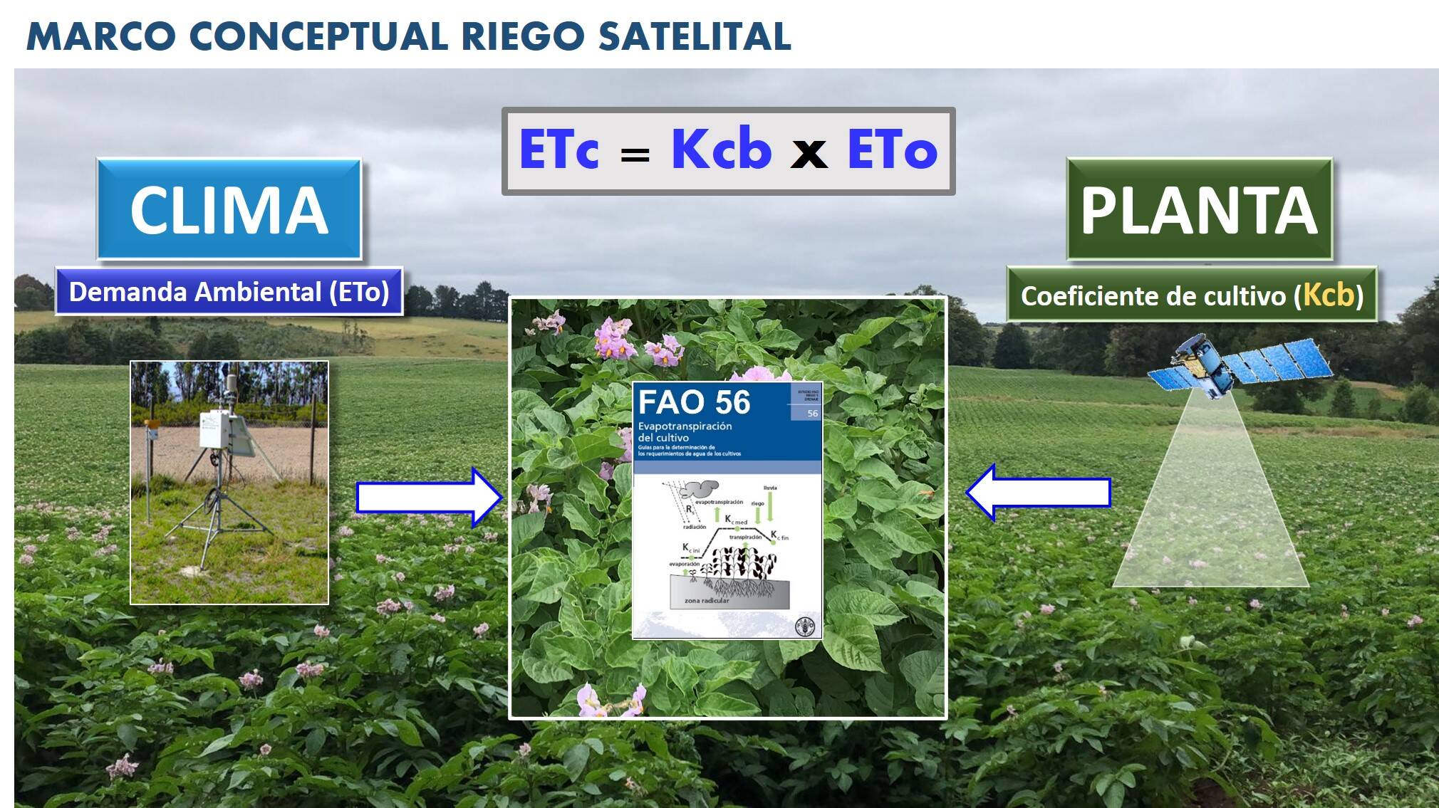
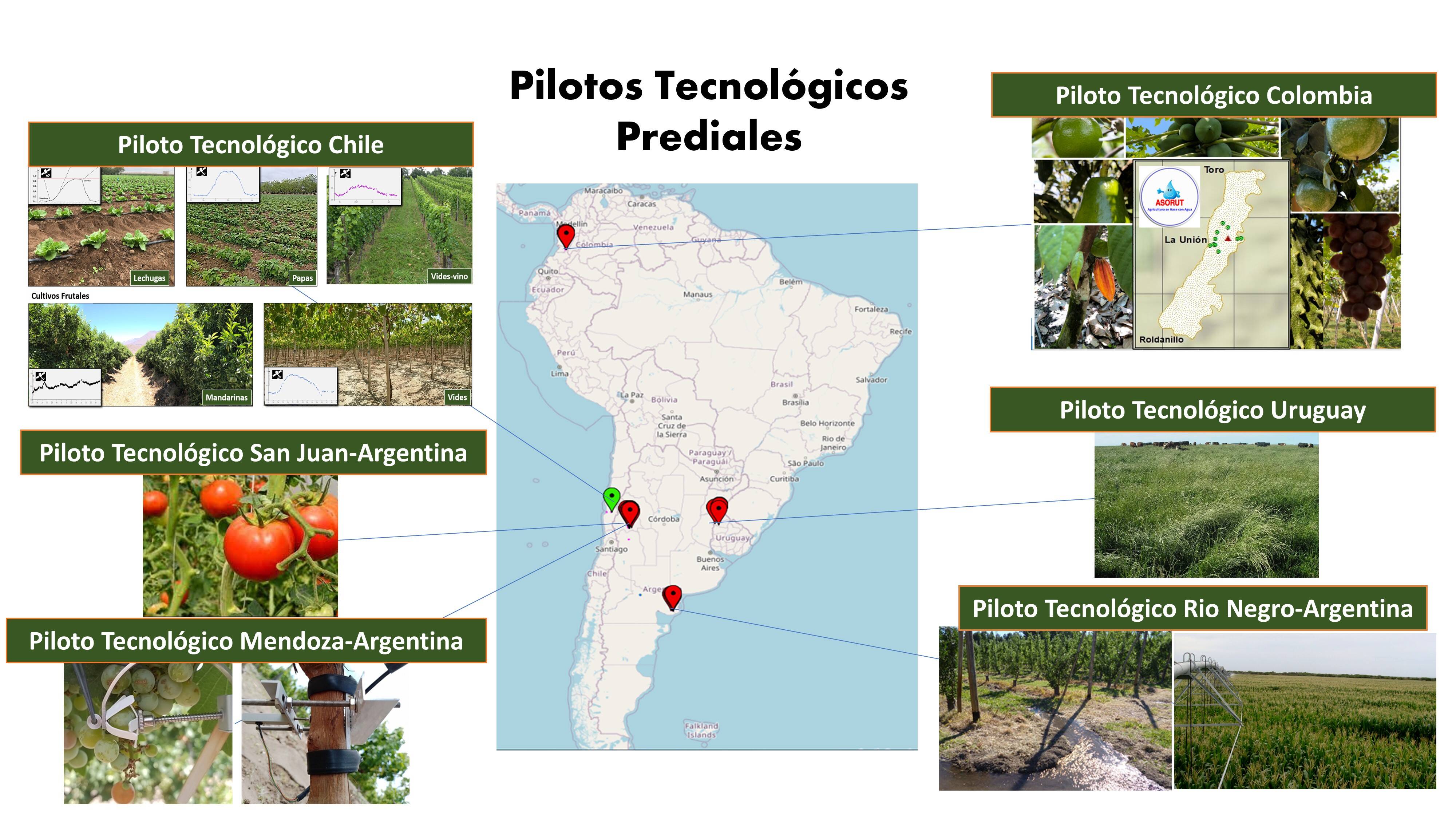
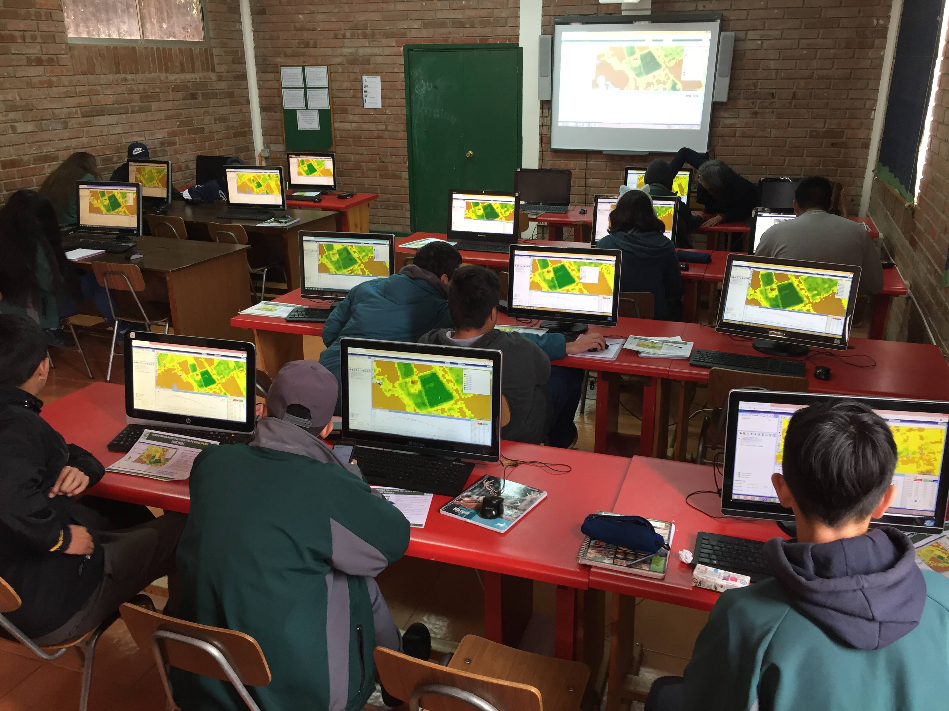
The PLAS-ALC project has been developed in agricultural pilots with very different environments and climates, ranging from arid and semi-arid in Argentina and Chile, tropical in Colombia and humid sub-tropical in Uruguay. The crops on which the trials and validations have been developed are very varied and representative of the diversity of climates. To estimate crop irrigation demand, both at plot and irrigable area scale, the "Kc-ETo SATELLITE ASSISTED" methodology has been implemented, based on FAO Manual 56. The conceptual innovation is the use of the temporal pattern of the NDVI Satellite Vegetation Index to describe the evolution of the basal crop coefficient values. All this technological package was transferred to the users during the project.
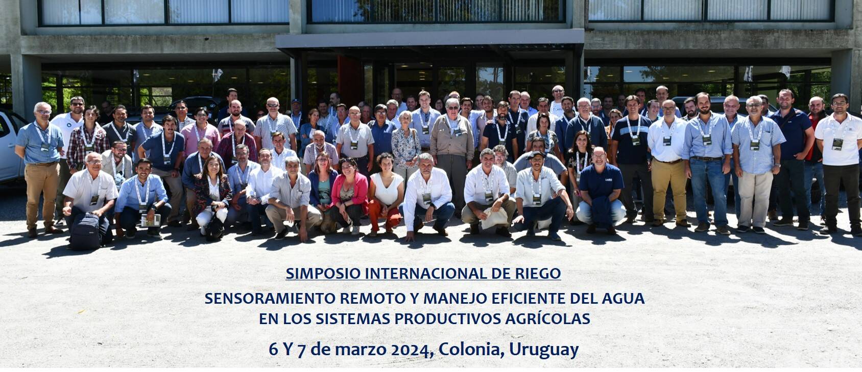
REMOTE SENSING AND EFFICIENT WATER MANAGEMENT IN AGRICULTURAL PRODUCTION SYSTEMS
The technological solution
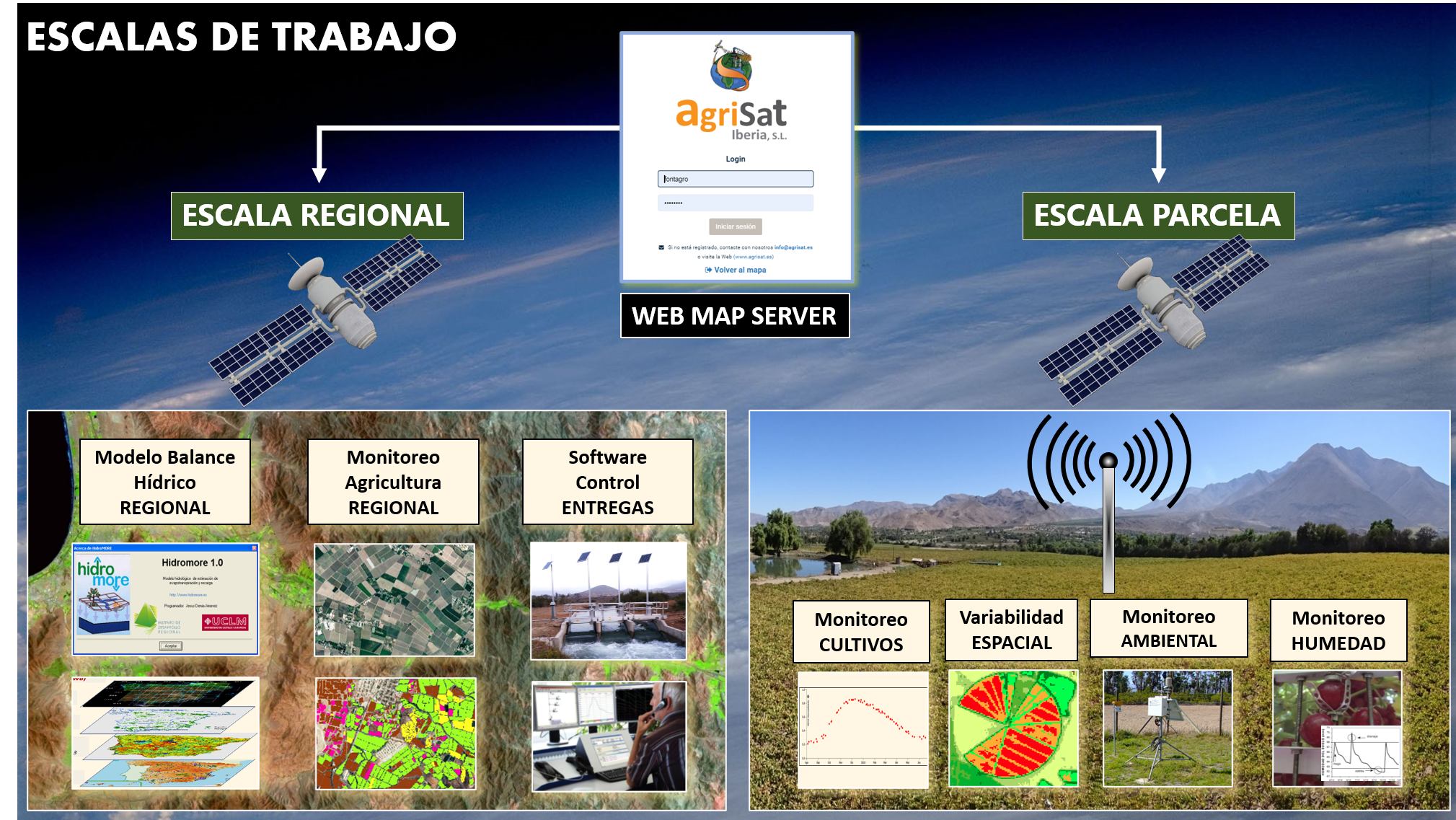
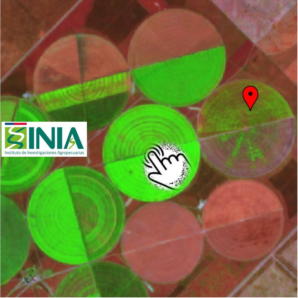
Improved water use in agriculture is achieved through the integration of conceptual frameworks and satellite information. The technological innovation is the implementation of an on-line PLAS satellite platform, which, with webGIS technologies, allows technicians and users to consult crop water demands in a simple, numerical and graphical way. It also allows to follow the development and growth of the crop canopy numerically through images. Products such as RGB composition, NDVI and Kcb index, derived from acquired satellite images, as well as reference evapotranspiration maps from numerical models, allow this monitoring. Advances in satellite imagery and global ETo maps, integrated within the PLAS ALC webGIS platform, allow the application of a standard methodology to all the areas analyzed and to the different crops to estimate water consumption.
Water management plans based on remote sensors combined with climate change scenarios provide projections for efficient water use in agricultural crops.
 Chile
Chile Argentina
 Colombia
 Spain
Spain Uruguay
Results
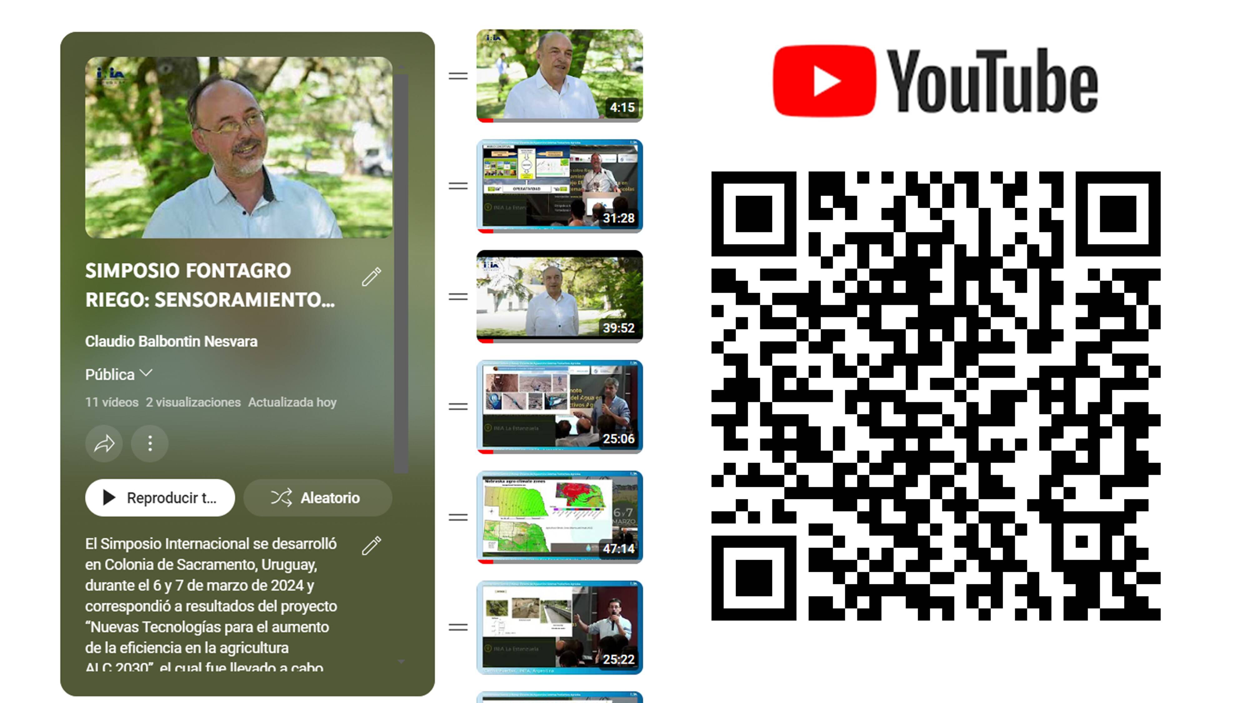
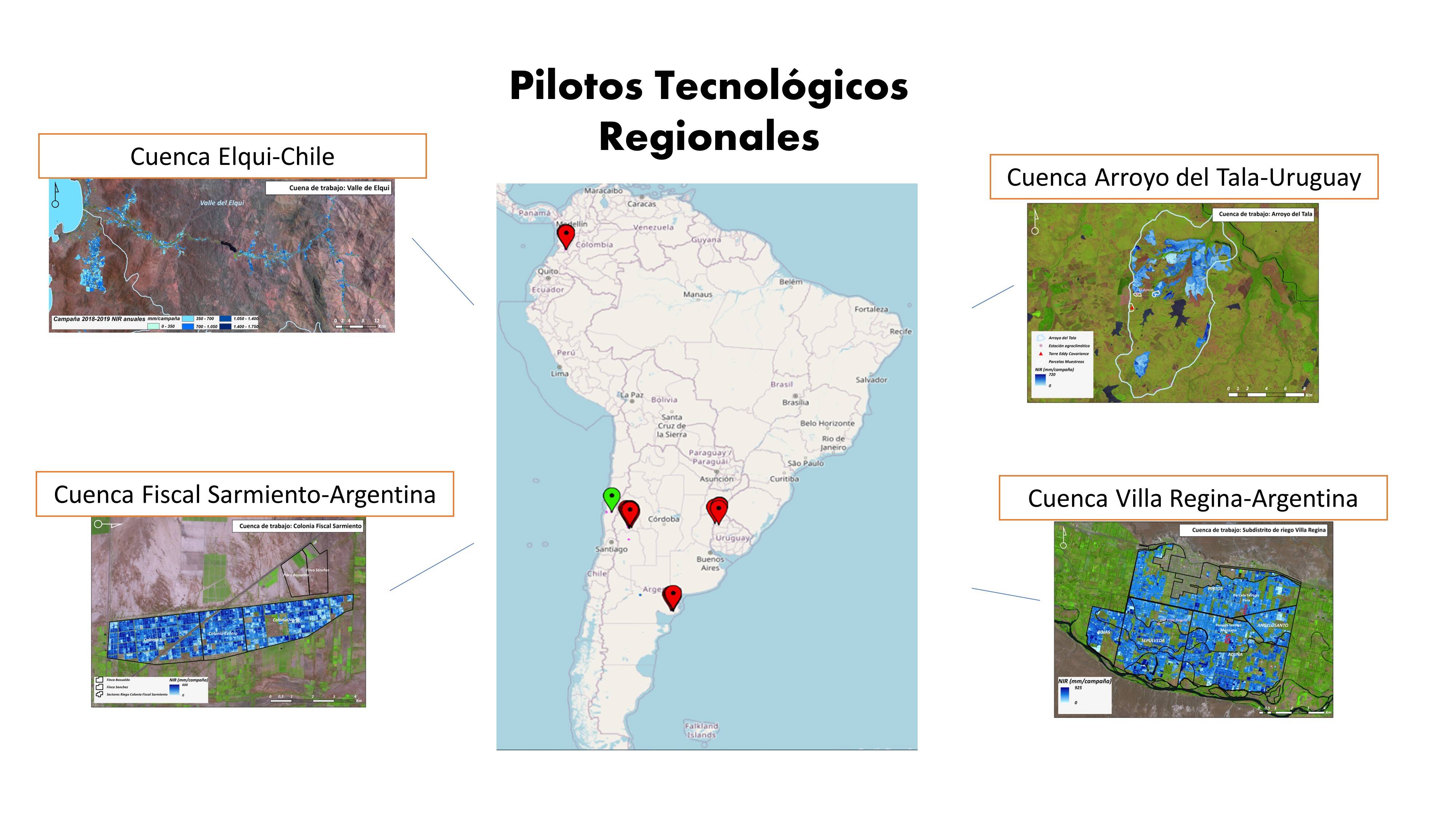
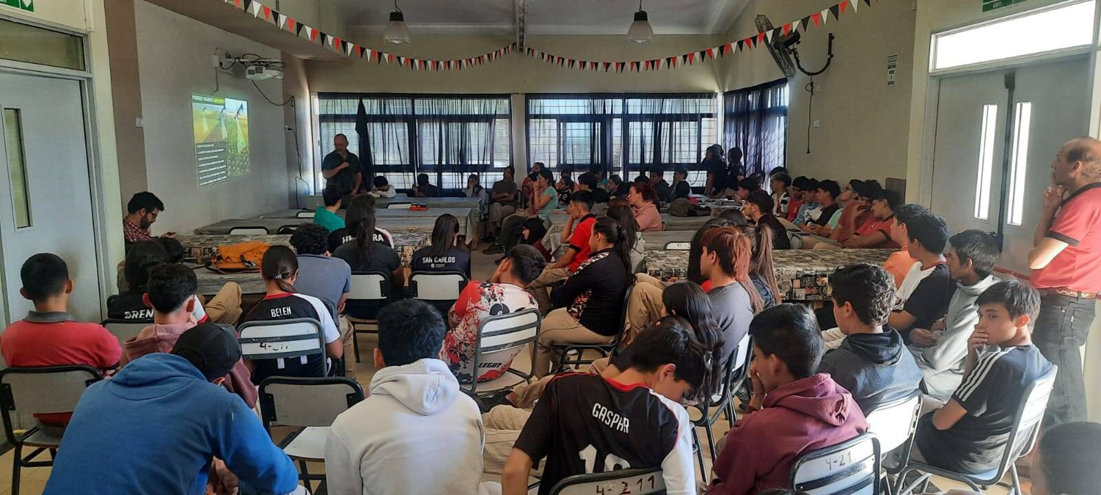
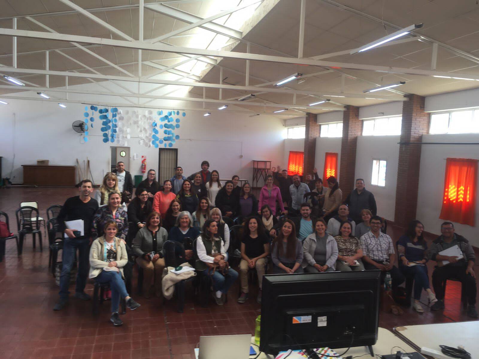
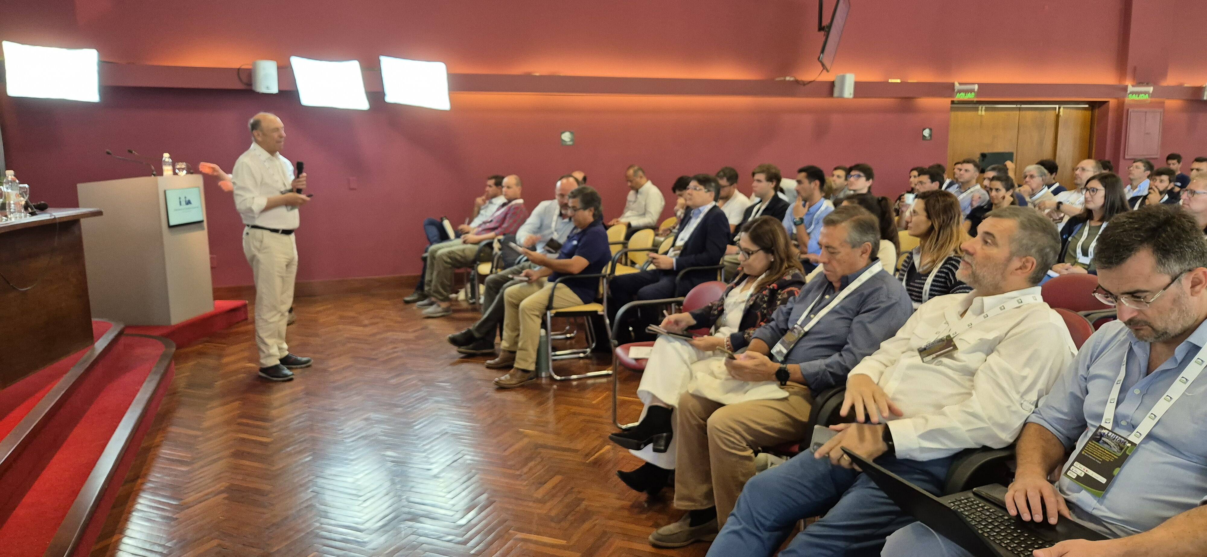
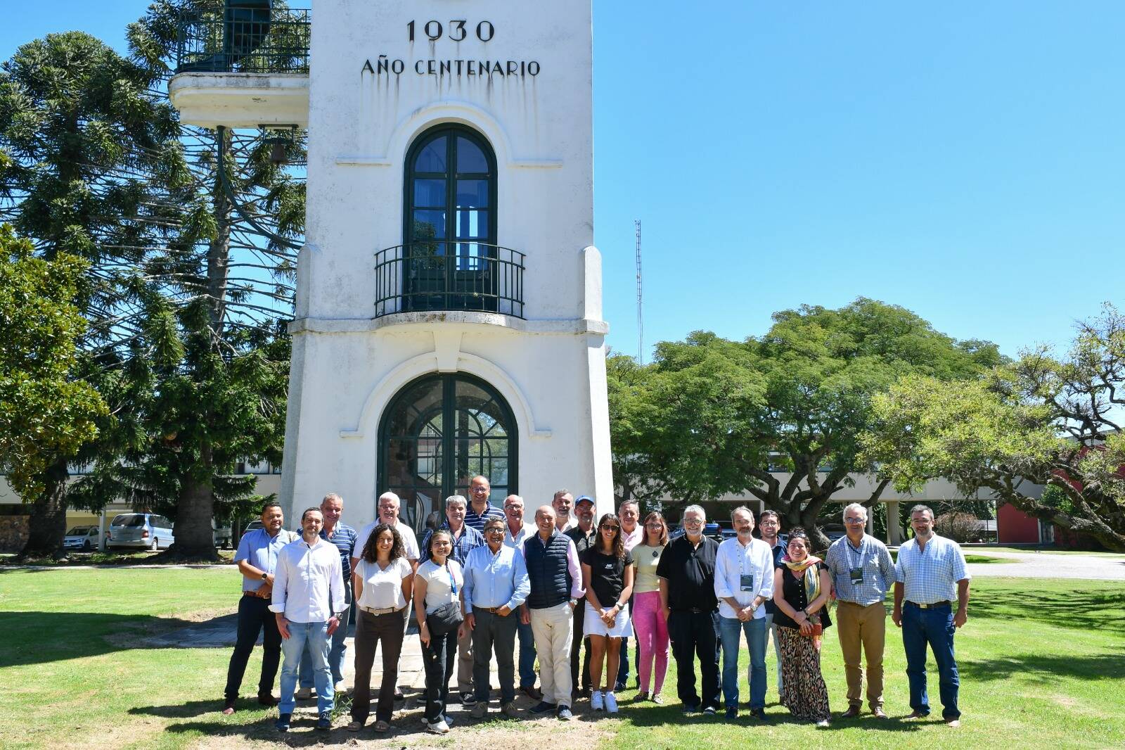
The implementation of the PLAtaforma Satelital "on line PLAS", allowed multiple users open access to satellite images. This condition revolutionizes irrigation management as it is conceived today. The information available on the PLAS platform allows farmers to analyze climatic data (weekly ETo forecast model) and the level of development of their crops to optimize water use. It also provides sectorization tools (MZM) to advance precision agriculture. The implementation of technological pilots at the farm and watershed levels has allowed validation of the proposed technological package for crops and local conditions. Training in conceptual frameworks for defining irrigation demand using satellite information has been fundamental for transferring knowledge and promoting the adoption of these technologies. The International Symposium held at INIA Uruguay consolidated the Network of Irrigation Specialists proposed as an objective.


Space-based support for efficient water use in agriculture. Satellite technology like PLAS FONTAGRO enhances water management and estimation of crop water consumption.
SATELLITE AGRICULTURAL PLATFORM TO ESTIMATE THE IRRIGATION NEEDS OF CROPS
Participating Organizations
 - Chile")
 - Uruguay")
 - Colombia")
 - España")
 - España")
 - Chile")
 - Chile")
 - Argentina")
 - España")
 - Uruguay")
 - Argentina")
 - Colombia")
 - Argentina")
 - Chile")
 - Argentina")


